Table of Contents
Growing up on the Mornington Peninsula, I’ve always loved exploring its different nature reserves and hiking spots, as there’s so much to offer.
Well, okay. You’re not going to get huge rugged mountains or deep Amazonian jungle vibes, but you have pristine Australian bushland, coastline, and farmland all in one. Not to mention all the cute little towns spotted around, such as Flinders or Red Hill, which are worth dropping into.
But let’s talk about the hiking tracks down the Mornington Peninsula.
Even today, when I’m back in Australia, one of my favorite things to do is hike down the Mornington Peninsula, and I’ve definitely developed a repertoire of favorite spots.
The Mornington Peninsula isn’t one vast stretch of wilderness like Wilsons Promontory. Instead, it’s a patchwork of smaller nature reserves woven through farmland and rural landscapes, often hidden in plain sight.
Some of these natural parks are quite well known, others are hidden gems that barely see any tourism.
Anyway, after reading this article, you’ll know all the best nature reserves and hiking trails in the Mornington Peninsula.
So if you’re doing an excursion from Melbourne, or perhaps a road trip around Australia, here are 10 reasons why you’ve got to check out the Mornington Peninsula!
1. Bushrangers Bay
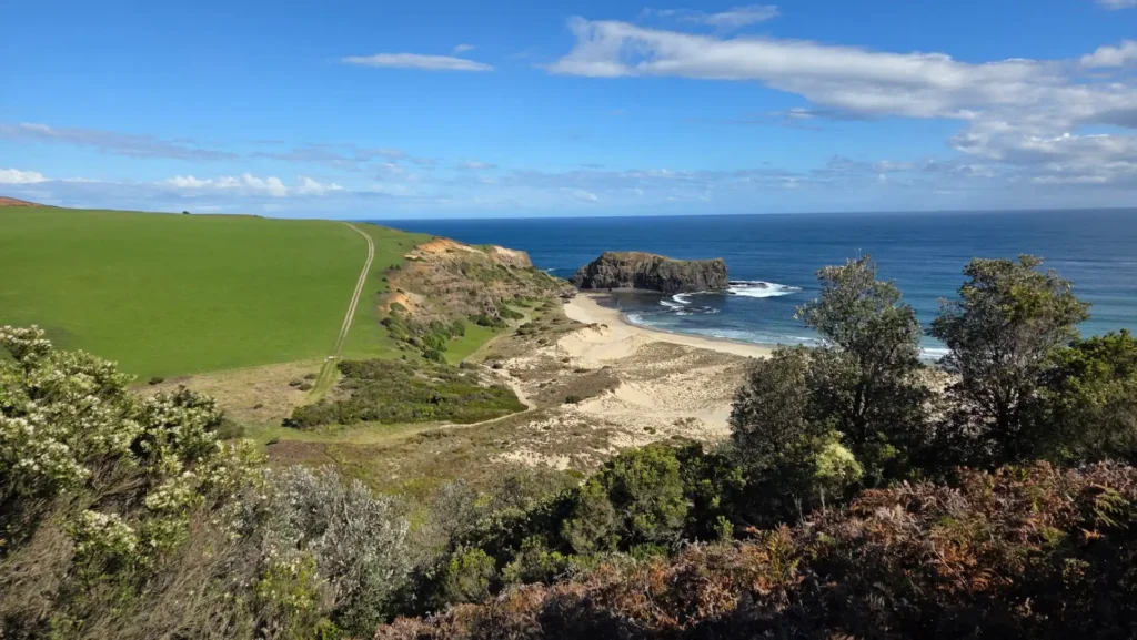
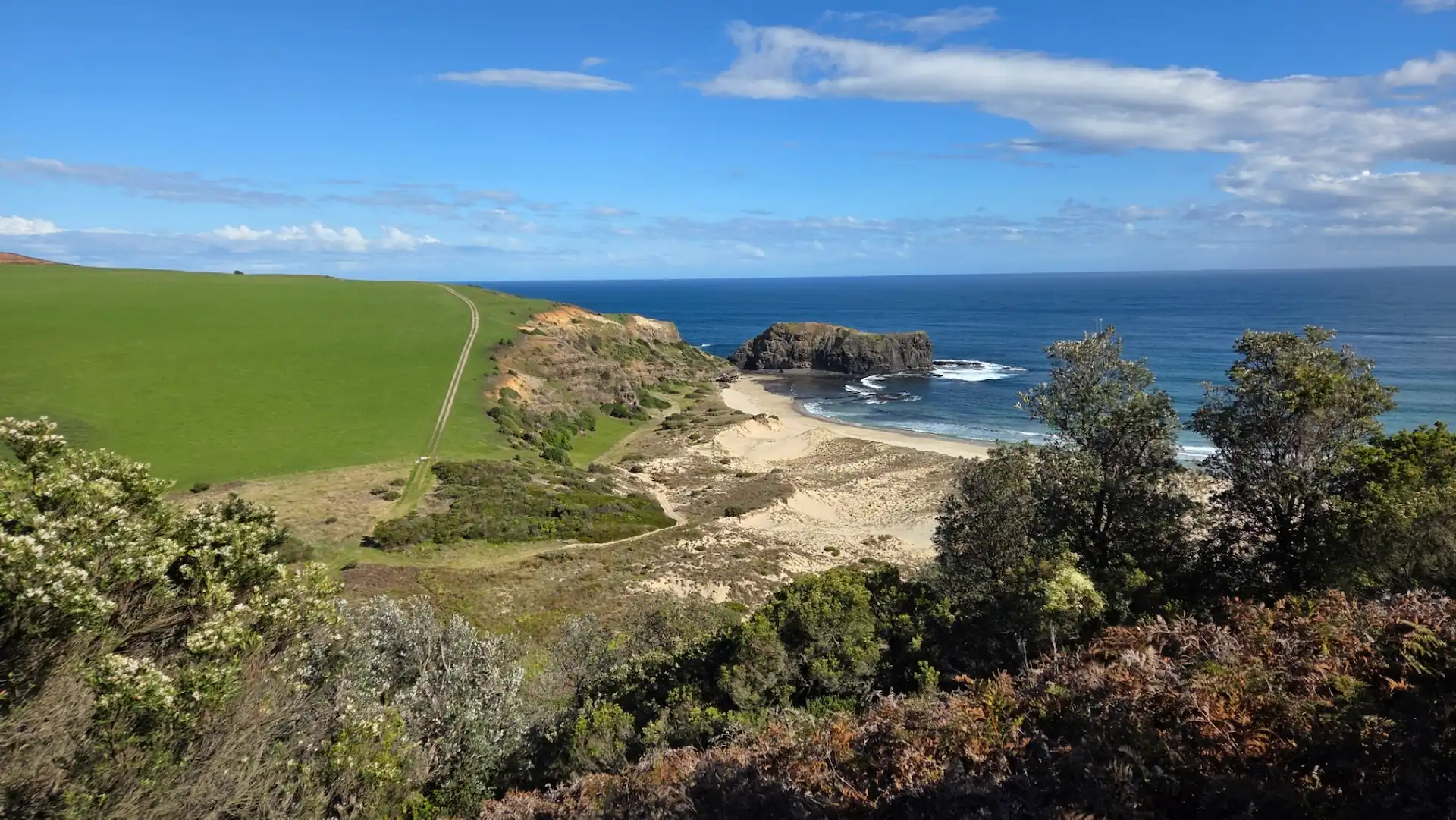
Bushrangers Bay is one of the Peninsula’s most iconic hiking trails, and it’s just a 10-minute drive from the little, quaint town of Flinders, which is also worth a visit if you haven’t been.
This walk always has been, and still is, one of my favorite walks down the Mornington Peninsula. But I’ve seen its popularity grow over the years.
When I was just a kid, this spot was a hidden gem. Barely anyone seemed to know about it. Well, word got out, and now it brings in crowds on weekends. That said, you can definitely find days where there’s not a person (or car) in sight. Like in winter, which takes up about 90% of the year in Victoria.

The carpark is an open dirt spot off the side of Boneo Road, towards the Southern tip of the Mornington Peninsula. It feels like it’s in the middle of nowhere, cause it sorta is, and it’s easy to miss if you don’t know where you’re going.
From here, there will be 2 paths, one on each side of the road. The Northern path passes through Greens Reserve and all the way to Baldries Crossing, which is a 3-4 hour trek one way.
You want to go South, where the track connects to the large dirt car park.
The path is a narrow dirt trail that will first take you through some coastal scrub before opening out onto arid fields.
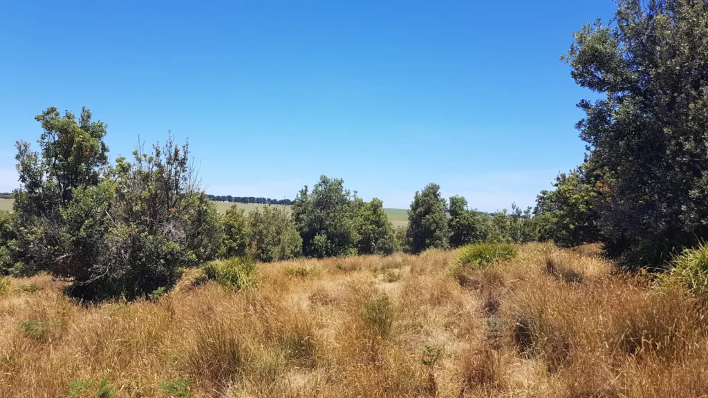
Just follow the main trail if you want to get to the beach. Otherwise, you can take one of the dirt trails shooting up and down the hills if you feel like doing some off-track exploring.
Taking a detour off the main track will give you a better chance of seeing the local mob of 20-30 kangaroos that hang out in the area. They tend to stay close with their friends, usually a little off the main track behind the vegetation.
Don’t worry, you won’t get lost as this stretch of nature is enclosed by private farmland. The rickety fences definitely won’t keep you out, but hopefully your decency does!
After roughly 45 minutes of walking, the main trail will eventually lead to a fork in the road.
Following the trail right will lead you to Cape Schanck, which is another hour or so along the coast. Taking the path left will lead you down some sandy wooden steps to the beach.
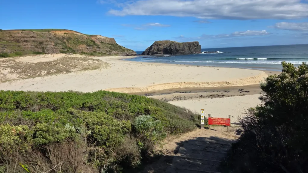
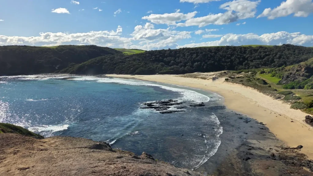
At the bottom of the steps, you’ll enter an isolated beach with rocks, dunes, and a small creek cutting through the middle.
The creek is pretty shallow, so you can cross it by either taking your shoes off and walking or using the rocks to jump across the narrow points.
You might be tempted to take a swim in the ocean here, but I advise against it.
This beach has some serious waves and is known for powerful rips. That wouldn’t be too bad if it weren’t for the big rocks and stacks of seaweed hidden under the water. All things considered, swimming here can be quite dangerous.
But no worries!
You can walk around to the rocky outcrop on the other side of the beach. Low tide reveals several rockpools, which people do swim in occasionally, although you want to be careful.
I’ve seen blue-ring octopuses in the rockpools here before. An unwelcome encounter with one of those guys out here could be a death sentence.
So, we’re running out of options.
Well, while you’re there, you can climb up that big-ass rock. There’s a path around the back which requires a little bit of rock scrambling, but it’s quite safe in general. This will give you a nice view of Bushrangers Bay and a good spot to rest for a while.
2. Fingal Park
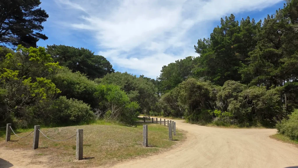
Just a 5-minute drive from Bushrangers Bay, you have another nice hike down to the beach, starting at Fingal Picnic Ground.
Just a few minutes on Cape Schanck Road, take the small dirt road on the right leading into the Pine forest, which will lead you to a series of parking spaces and picnic grounds.
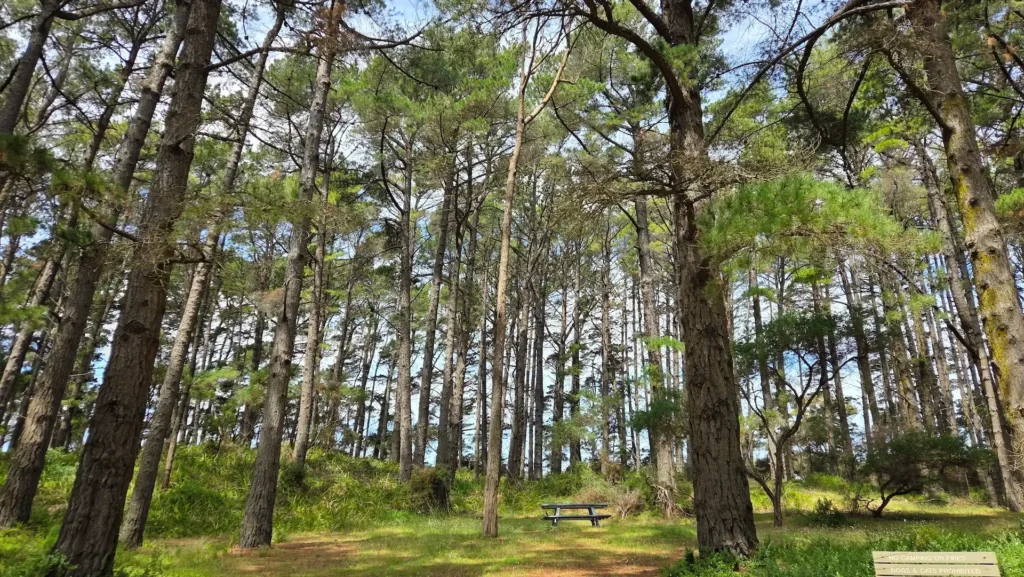
There are a couple of tracks you can take from here, with one leading to Fingal Beach and the other to Cape Schanck.
If you take the path North to Fingal Beach, you will hit a flight of steps leading to the isolated beach surrounded by cliffs after about 30 mins of walking, shortly after a nice viewpoint overlooking the ocean and cliffside.
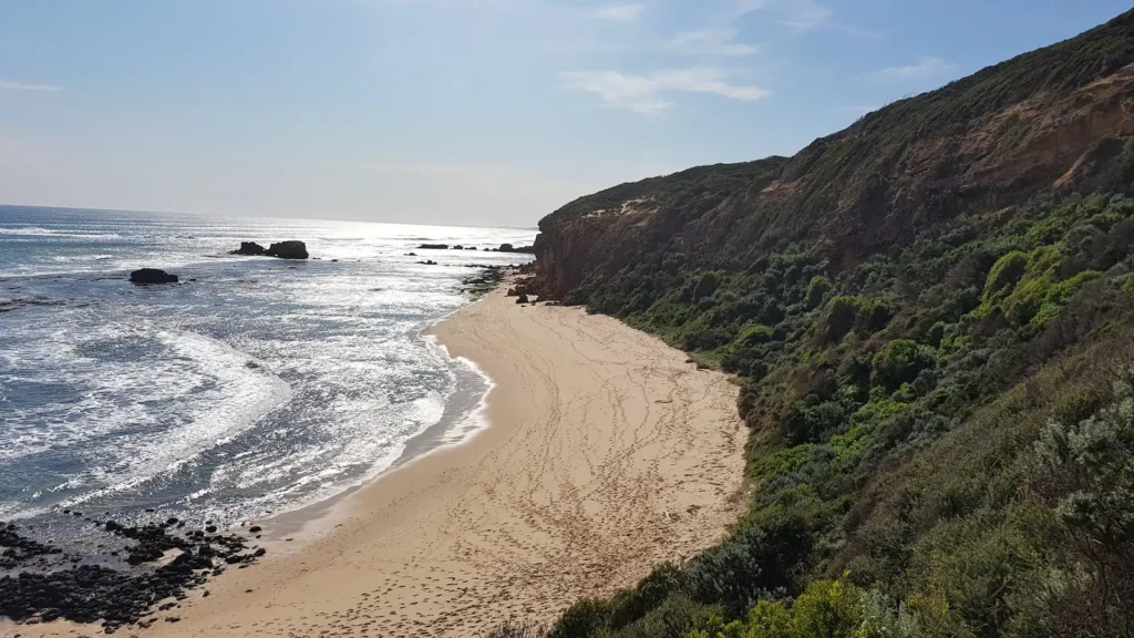
Before you head down the flight of steps, you’ll see another trail shooting off to Gunammatta, my favorite beach in Melbourne! This is a decent walk, which will probably take another hour, but Gunammatta is a pristine surf beach, and it’s where I almost always go to swim.
Fingal Beach, on the other hand, you don’t want to swim there, for the same reasons I mentioned with Bushrangers Bay. Although after walking down that huge flight of steps, you might be tempted!
Otherwise, the other route at Fingal Park starts from the entry-point where you will see a small parking lot on the left.
This route takes you to Cape Schanck (which we’ll talk about next), and it takes about an hour or so to get there. The walk brings you along the cliff face, where you have some really nice views of Fingal Beach and Gunammatta in the distance.
3. Cape Schanck Coastal Walk
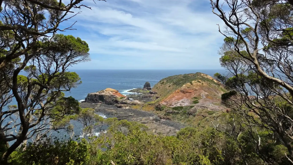
We’ve finally made it to the Schanck. It’s been a long run, and you’ve heard so much about it. But we’re here.
But what is it?
Well, sorta the same thing as the previous hikes, minus the bush. Like 90% cape, 10% Schanck.
The cliffs here are steep, the ocean feels powerful, and the walking tracks trace the edge of the land in a way that keeps pulling your attention outward. Boardwalks and steps lead down toward the famous Pulpit Rock lookout, where waves surge through narrow channels in the rock.
Yeah, that last paragraph was 100% written by AI, which has no idea what it’s saying.
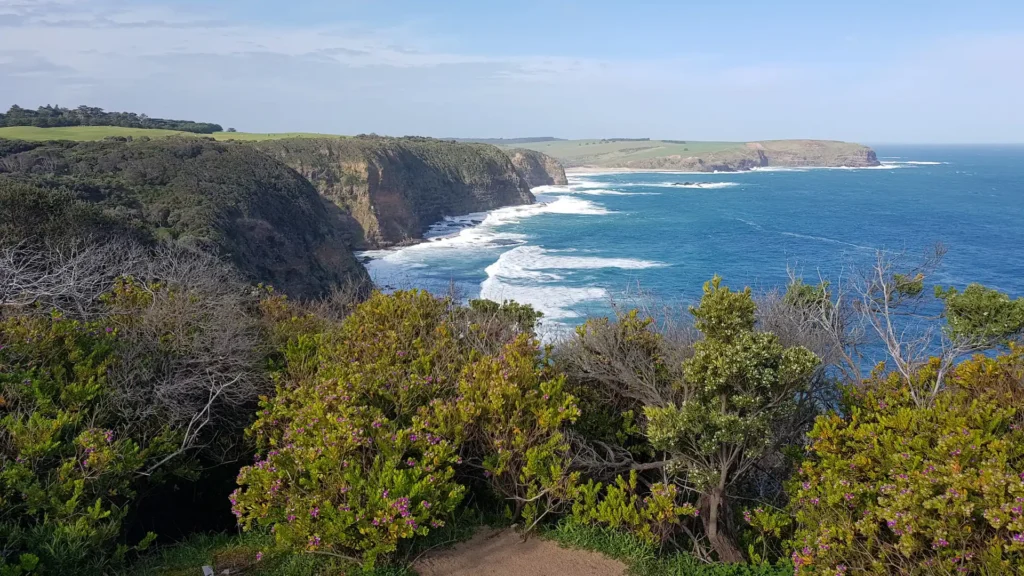
But seriously, it’s quite a unique walk. There’s a car park here which acts as most people’s starting point, but it also connects to Fingal Park, and even Gunnamatta Beach if you’re down for a serious trek along the coastal cliffline.
You’ll see a lighthouse, which is a museum or something along those lines. I’ve never gone in, so I can’t say for sure. But who cares about museums! We have nature to explore!
Follow the path down, and you’ll end up at a boardwalk that’s impossible to miss, as it’s what makes this place so iconic. It only takes about 10 minutes to walk to the end of the boardwalk, which will lead you to the rocky outcrop where you can either walk along the rocks at low-tide or head back up.
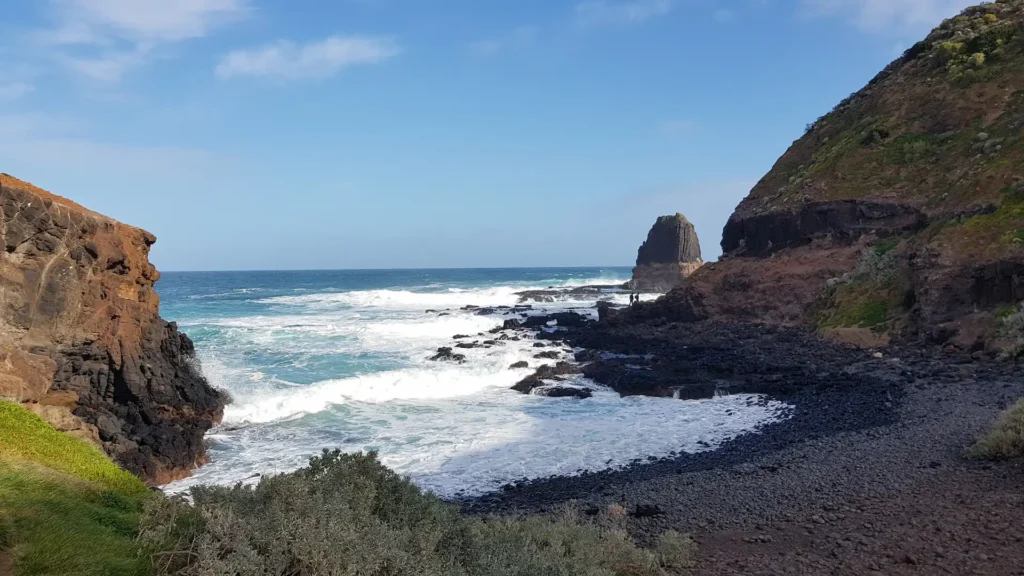
Cape Schanck isn’t a huge walk, it’s more for the scenery. It’s a nice little getaway with beautiful coastal views, strong winds, and some powerful coastal energy that will make you feel recharged and relaxed at the same time.
4. Sorrento Ocean Beach
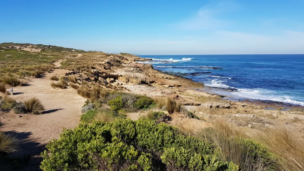
Sorrento is a historic town at the far tip of the Mornington Peninsula, but it has a really nice coastal area, which has quite extensive walking trails.
There are quite a few points that you can enter, so it really depends on where you want to go. Most people take Ocean Beach Road to the Sorrento Ocean carpark and go from there.
If you walk North, you will eventually get to Point Nepean National Park, and if you walk South, you will follow the stunning weathered cliffline, which is what I recommend doing.
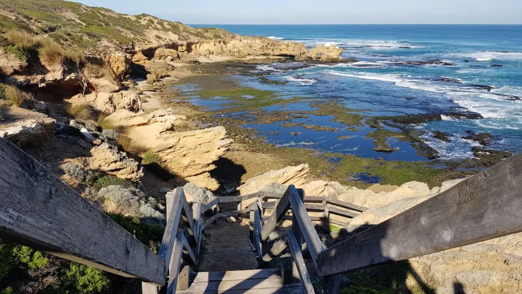
There’s a rock shaped (and now named) after almost every animal you can think of. Seriously, it’s wild.
You have Dog’s Head Rock, followed by The Dragon’s Head, and then Lizard Head Rock, and then there’s also Rabbit’s Head Rock, and Sphinx Rock, making you wonder if you’re in some sort of weird fossilized animal-head museum, or you’re just losing your mind.
You can follow the coastline as far as you want, which passes through various coves, beaches, boardwalks, and vegetation areas. You can either stay on the trails or do some off-track adventuring on the rocks.
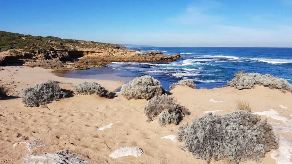
5. Point Nepean National Park
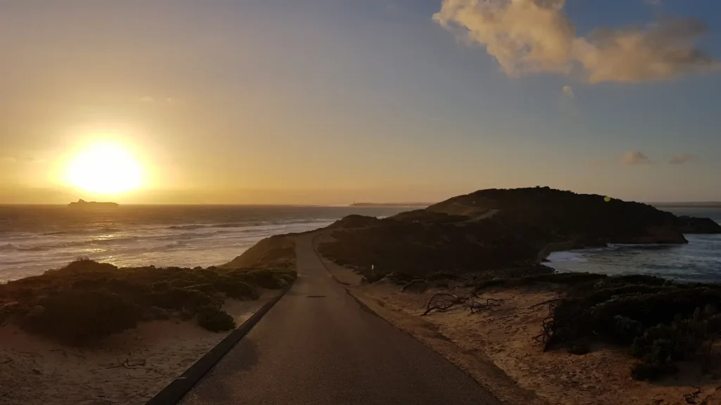
Point Nepean, the furthest tip of the Mornington Peninsula, is a unique case.
It’s a blend between a historical site, a museum, and a hike. While it’s not an immersive nature hike like some of the other spots we’ve mentioned here, it’s definitely worth a visit.
In the mid-19th century, Point Nepean became a strategically important military fort to defend Port Phillip Bay in the event of intrusion. This site was decommissioned in the early 1990s and then incorporated as part of the national park in 2002.
Today, Point Nepean is part of a national park, preserving both its natural beauty and layers of Indigenous, military, and colonial history.
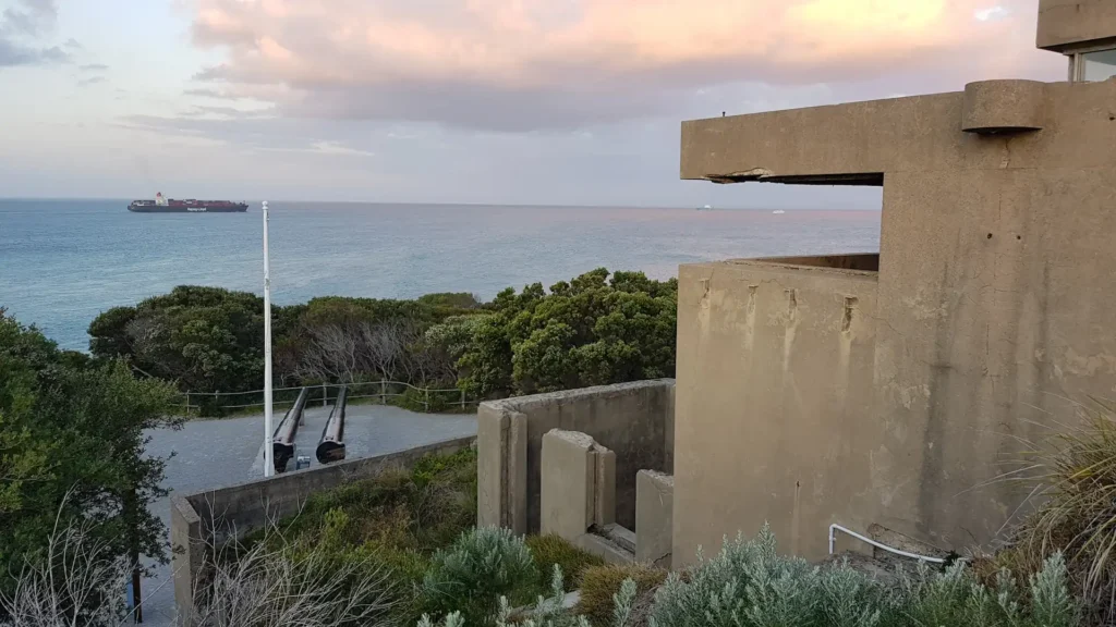
The site is an old fortress with barracks, training areas, cannon emplacements, and a network of tunnels connecting the different areas.
You start a stone’s throw from an old quarantine station at the start of the road which you can explore the park among old buildings that are no longer in use. This is a nice area for a picnic, and it regularly hosts weekend markets, which create a lively ambiance.
You start by taking the long, winding road to the old fort at the end of Point Nepean.
While you can take a shuttle bus for a small fee, I suggest walking as it’s a nice walk with coastline on both sides of the road, and lots of smaller dirt tracks you can take too, to get more of an immersive nature feel.
Besides, when you walk, you get to explore some of the smaller features that might be missed otherwise, like hilltop bunkers, old training areas, and other historical sites dotted along the narrow stretch of land.
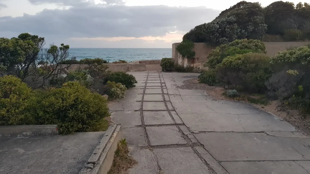
After 30 – 45 minutes of walking along the road, it will branch out into an old fort.
Here, there will be several different roads, pathways, and dimly-lit tunnels, each with different levels and rooms that can feel a bit like a maze.
Some areas are falling into ruin and blocked off, but for the most part, you’re free to go where you want and explore this old fortress at your own pace.
Different rooms have videos, voice recordings, or other historical records that make you feel like you’re in a museum. If you can brush off the eerie music that reverberates through the tunnels, you can have a good time here!
Anyway, it’s a cool experience, and it’s completely free, which is a big bonus.
6. Devilbend Natural Feature Reserve
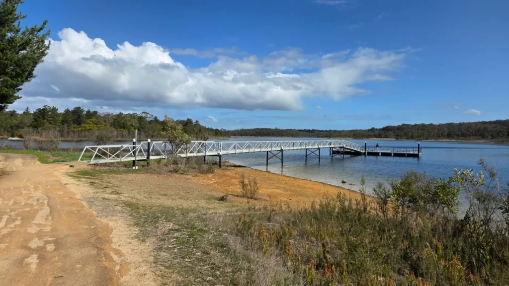
I never knew this place existed until a few years ago, which is strange considering its proximity and my outdoor-loving, adventurous spirit.
Guess we didn’t really have Google Maps back in the day, where you could spot a splot of green on the map, and make a day out of it.
Anyway, I’m glad I did eventually find it, because it has become one of my go-to spots, just about a 10-minute drive from my house.
When I say my house, I mean my mum’s house. The place I crawl back into during my stints back in Australia. I don’t have a house, being the broke nomad I am.
Couldn’t care less? Great!
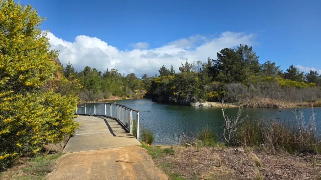
Don’t let the name throw you off. Devilbend doesn’t actually have that many Devils. Just a nice big lake and wetland area with some walking tracks around it.
It’s a good spot to go for a casual stroll, as it doubles up as a picnic area too, with public BBQs and the lot. You can walk along the water, fish, or even go for a swim yourself if you’re brave enough.
Otherwise, if you feel like going for a proper walk, there is a trail that goes all around the lake, which takes around 3 hours to do the loop.
7. Arthur’s Seat State Park
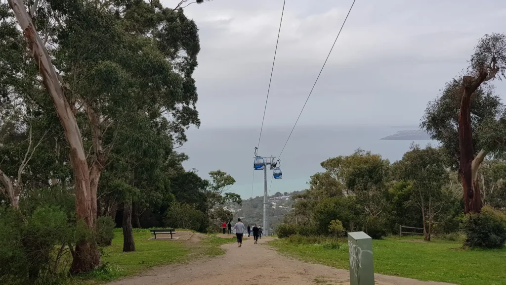
Arthur’s Seat state park is an expansive, but segmented area (sorta looks like a jigsaw puzzle on a map) of preserved nature at Arthur’s Seat.
Now, Arthur’s Seat is the “mountain” that’s pretty much smack-bang in the middle of the Mornington Peninsula. You might say, “Tiss but a hill, Daniel,” and to most people, yes, it is. But to us Australians, it’s a bloody mountain, and we’re proud of it.
You start by going up the winding road, which boasts some beautiful views of Port Phillip Bay. There’s a chairlift that stopped working back in the early 2000s, and took a good 20 years to get back in action, which quite accurately reflects the pace of life in the area.
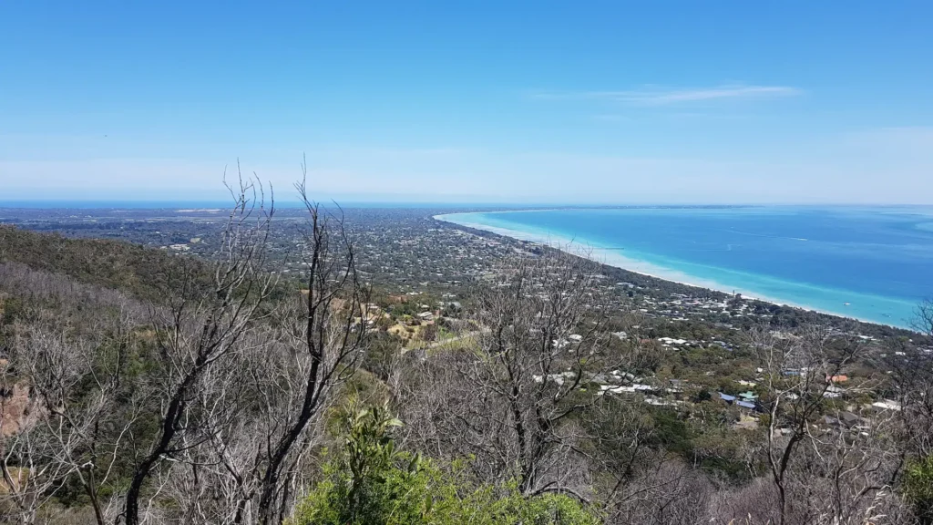
Quite a few trails are zipping around the area, but the main spot is Seawinds Gardens, right across from The Enchanted Adventure Garden, a place I worked at in 2015, but I won’t recommend it, because the boss was a dick.
Seawinds though. That place is rad. It offers some of the best inland walking on the Peninsula. Lots of trails running through Arthur’s Seat, kangaroos, and emus if you’re lucky. Awesome views of the bay and surrounding areas, and you can walk for seemingly ever.
You can choose gentle circuits or steeper climbs, depending on your energy. Anyway, get out for a walk and explore Arthur’s Seat while you’re at it. There’s plenty to do and see around this part of the Mornington Peninsula.
8. Greens Bush (Via Baldry Crossing)
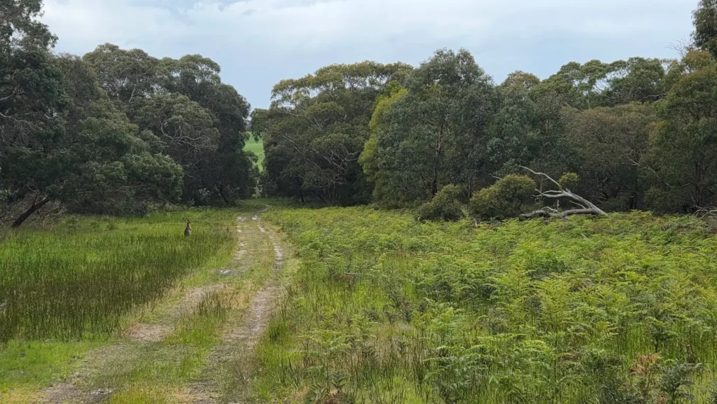
Greens Bush is probably the largest nature reserve on the Mornington Peninsula, and one of the most important conservation areas.
This area is big, with many different access points, from Arthur’s Seat all the way to Bushrangers Bay on the opposite end of the peninsula.
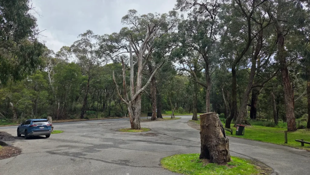
One entrance I frequent is Baldry Crossing, which is just about a 10-minute drive from Seawinds Gardens. Follow the road winding through the hillside, and you’ll eventually come across a small car park area, which you can see in the photo below.
You’ll start by following a track running parallel to a stream through some dense woodlands, which will eventually open out to large open fields.
Here you’re likely to see kangaroos, snakes, kookaburras, and all sorts of native wildlife. A part of this reserve is full of grass-trees, which are a unique native Australian plant, known for looking like grass, but as a tree!
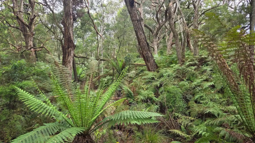
Then you also have lots of nice views of pristine countryside, billabongs, meadows, vineyards, and rolling hillsides. This hike can be as extensive as you want it to be, where you can even walk all the way to Cape Schanck if you wish, but probably don’t.
9. Warringine Park
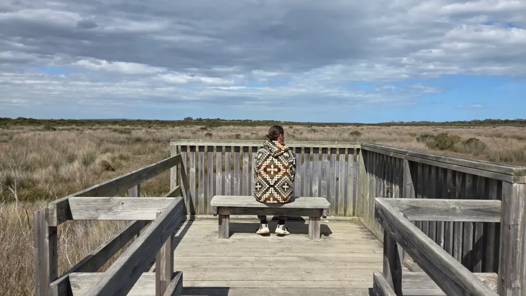
This one is easily missed as it’s tucked away in Hastings, which is notorious for being a small coastal town with not a lot happening.
Working in Hastings during this time in Australia, I go to this spot pretty regularly, being just a 2-minute drive down the road.
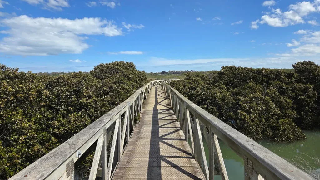
Warringine Park is pretty much one boardwalk that runs through wetlands and mangroves. All up, it takes about 45 minutes each way, and you have nice views of wetlands with all sorts of birdlife going on here.
The whole place feels spacious, scenic, and relaxed. You don’t often see other people, so it’s almost like you’ve got the whole place to yourself.
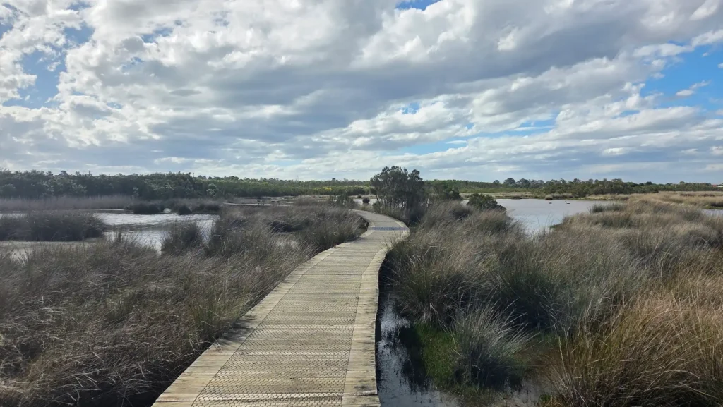
Warringine Park is especially good at sunrise or sunset, when the light reflects off the water, and the park feels quietly alive.
10. Coolart Wetlands and Homestead
Coolart Wetlands is another coastal wetland area about a 10-minute drive from Warringine Park. Rather than just being a nature reserve, it’s got a bit of history here too, as it’s a Homestead turned National Park.
You can walk through wetlands, open grassland, and past the historic homestead, which adds a sense of continuity to the landscape. The walking tracks are gentle and well-marked. You can follow the trails, boardwalks, or walk along the beach.
Good for easy walking, scenic nature, and birdlife.
And those are my 10 favorite hiking spots down the Mornington Peninsula, Victoria. There’s quite a few more spots that I just didn’t have space to fit into this list, so if you want to know more great walking trails, feel free to reach out to me, and I’ll let you know!